Blocktwin – Bridging the digital-physical divide with AI-enhanced geospatial mapping
Blocktwin stands out as a pioneering company in the realm of technology by integrating geospatial mapping with advanced artificial intelligence to create detailed digital twins. These digital twins are essentially virtual replicas of physical entities—from individual buildings to entire city infrastructures—providing a dynamic, real-time simulation environment.
Technology Integration
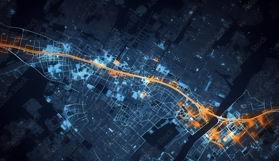
Geospatial Mapping
- At its core, Blocktwin uses geospatial mapping to gather comprehensive data about physical spaces. This involves capturing geographical and spatial details through technologies like GPS, GIS, and remote sensing. This data forms the foundational layer of the digital twin, offering a precise representation of the physical world.
Advanced AI
The integration of AI is where Blocktwin truly innovates. AI algorithms analyze the geospatial data to add layers of intelligence to these digital models:
- Real-Time Data Analysis: AI processes continuous streams of data from sensors and other IoT devices integrated into the physical assets, ensuring the digital twin mirrors the current state of the physical counterpart accurately.
- Predictive Analytics: By learning from historical and real-time data, AI can predict future scenarios like equipment failure or traffic congestion, allowing for proactive management.
- Scenario Simulation: AI enables simulations where different operational strategies or environmental changes can be tested virtually. This helps in understanding the impacts without real-world risks or costs.
Applications Across Sectors
Urban Planning
- Digital twins help urban planners visualize city growth, test new zoning laws, or assess the impact of new infrastructure like bridges or public transport systems.
Infrastructure Management
- For managing bridges, roads, or utilities, digital twins provide insights into wear and tear, allowing for predictive maintenance schedules that can prevent costly breakdowns.
Sustainability and Impact
- Concern: The environmental impact of running AI models, particularly in terms of energy consumption, is a growing ethical concern.
- Action: Blocktwin can focus on optimizing AI for lower energy use, perhaps by leveraging edge computing where possible, or by promoting the sustainability benefits of their technology (like reducing travel for inspections through virtual simulations).
Industrial Operations
- In manufacturing or energy sectors, digital twins can optimize plant operations, simulate production processes, or manage supply chains more effectively, leading to reduced downtime and enhanced efficiency.
Operational Benefits
Enhanced Visualization and Analysis
- Stakeholders can see how changes might affect their assets or operations, enabling them to make data-driven decisions.
Risk Mitigation
- By simulating changes in a virtual environment, companies can avoid the pitfalls of real- world experimentation, which might be costly or disruptive.
Sustainability
- Through optimized use of resources—be it energy, water, or materials—digital twins contribute to more sustainable practices by reducing waste and minimizing environmental impact.
Maintenance and Efficiency
- Predictive maintenance reduces emergency repairs, extending the life of assets while keeping operations smooth, thereby saving time and money.
Transformational Impact
Blocktwin's approach is transformative because it fundamentally changes how organizations interact with the physical world. By creating an exact digital counterpart, businesses can:
- Monitor and Manage: Keep a continuous, real-time watch over their physical assets.
- Optimize: Use the simulations to find the most efficient operational strategies.
- Innovate: Test new ideas in a virtual space before physical implementation, fostering innovation with reduced risk.
Blocktwin is not just providing tools but is actively redefining operational management by offering a virtual lens through which the physical world can be seen, understood, and manipulated with precision. This convergence of geospatial data with AI-driven insights is setting a new standard for how businesses can plan, execute, and sustain operations in an increasingly complex world.